| Route Overview and Start: Trip / Odometer / Time: 45.9 / 29,801 / 11:45 I was unsure about a ride today. I
wanted to go, but the weather seems unfriendly. Overcast and
cold. Well, vacillating led to hesitancy, hesitancy to lateness,
lateness to a longer day than a relatively |
|
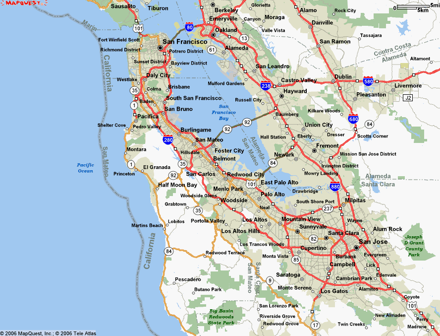
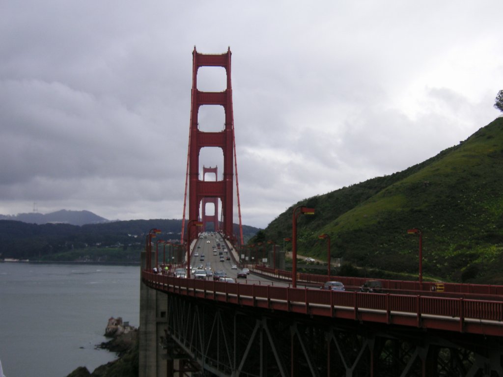
| Golden Gate Headed North on Hwy-280 headed for SF and Hwy-101 First stop the
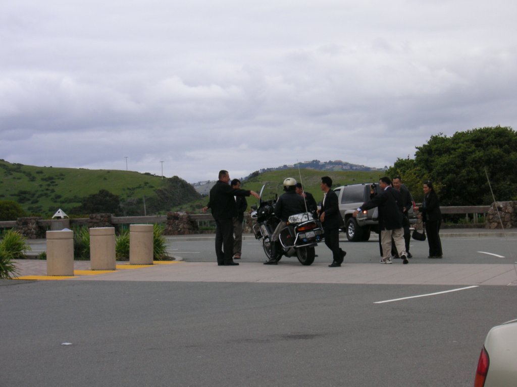
North Vista Point of the Golden Gate Bridge. There was a group of tourists who thought a CHP cop was |
|
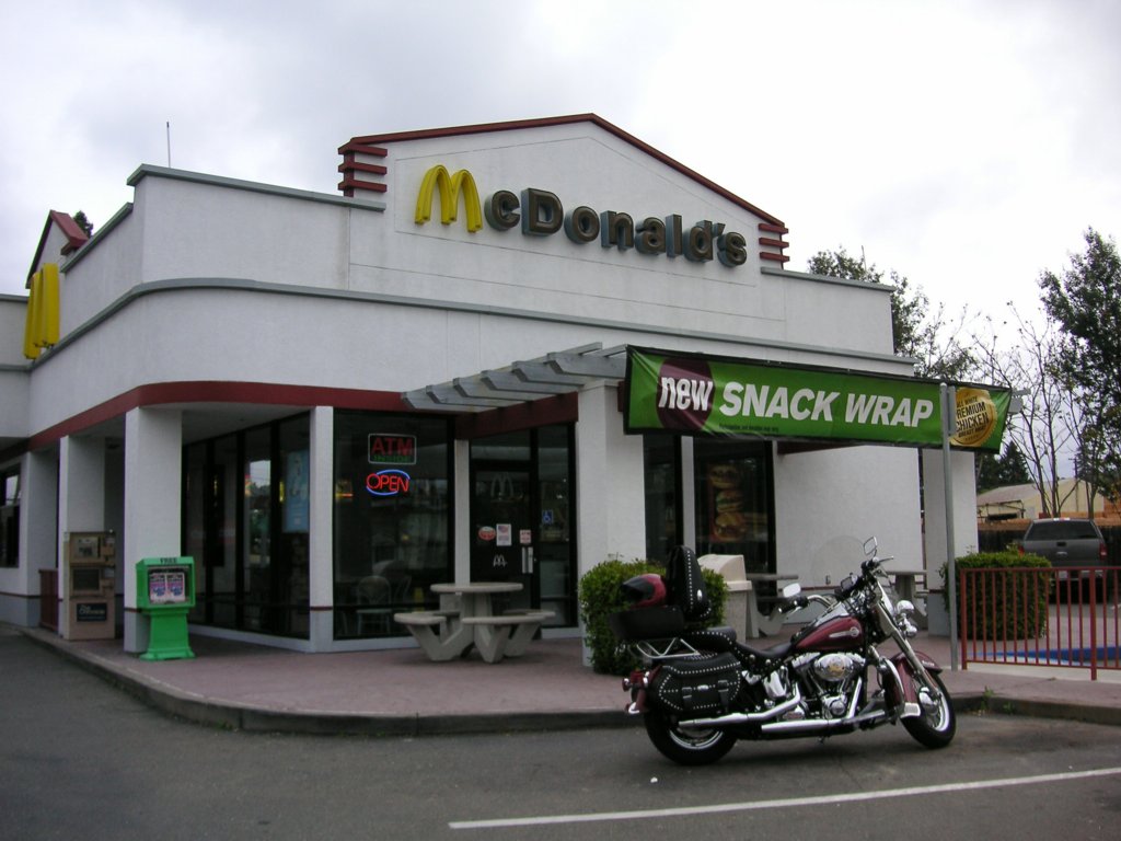
| Rohnert Park There's a Harley Dealer here! I pulled off and drove by. It's closed on Mondays. Drat! Healdsburg |
 |
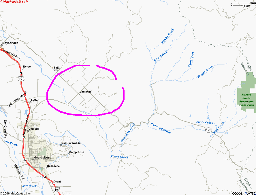
| Jimtown The past two years I have headed up to Jamestown near Yosemite for my 'J' city. Having become familiar, I thought maybe it would be appropriate to use Jimtown this year. That's a joke, James -- Jim, get it? Jimtown, just off Healdsburg, is too small to have any city
buildings |
|
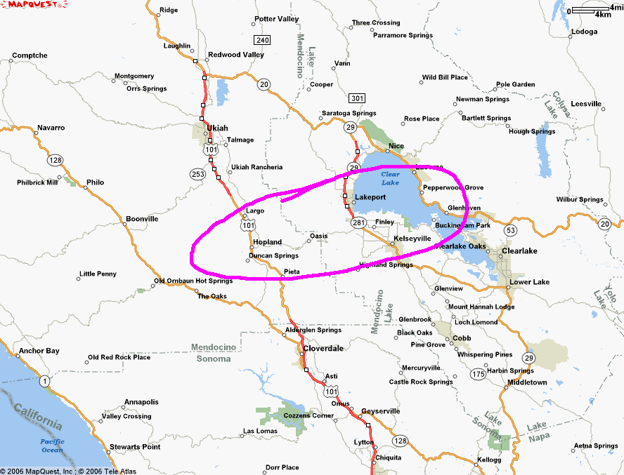
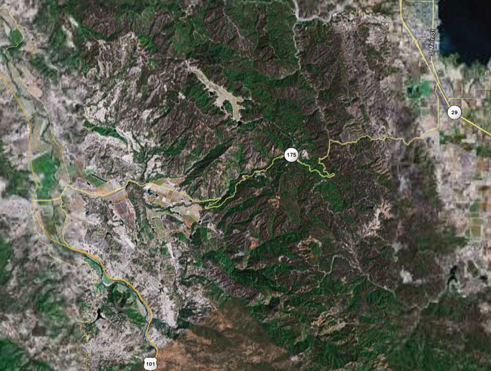
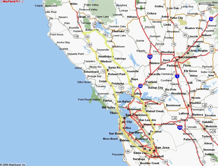
| Hwy-175 Hopland to Lakeport This is just a little jaunt between Hwy-101 and Hwy-29, right? Well, throw in a little mountains and it becomes more of an adventure. |
 |
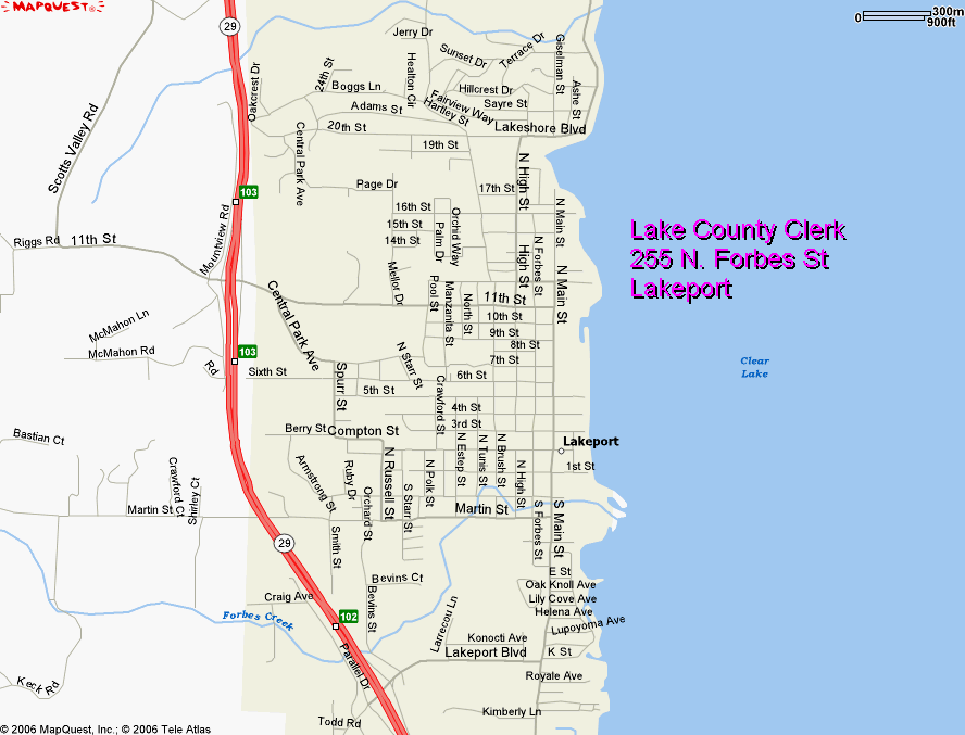
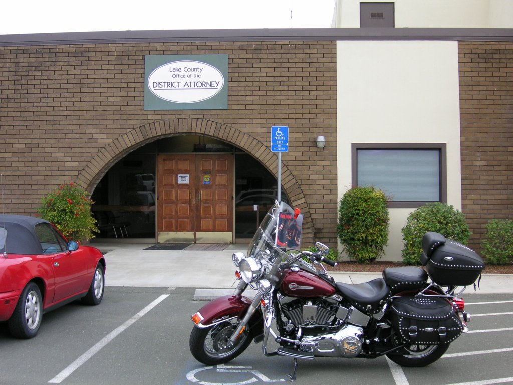
| Lakeport Lake County Most of the county buildings I found have no convenient parking with an angle for a photo. I spotted the district attorney's office in the back of a parking lot. This seemed appropriate since most of we Harley owners are familiar with DA's on a professional basis... The only
good place to park was in the handicap spots. |
|
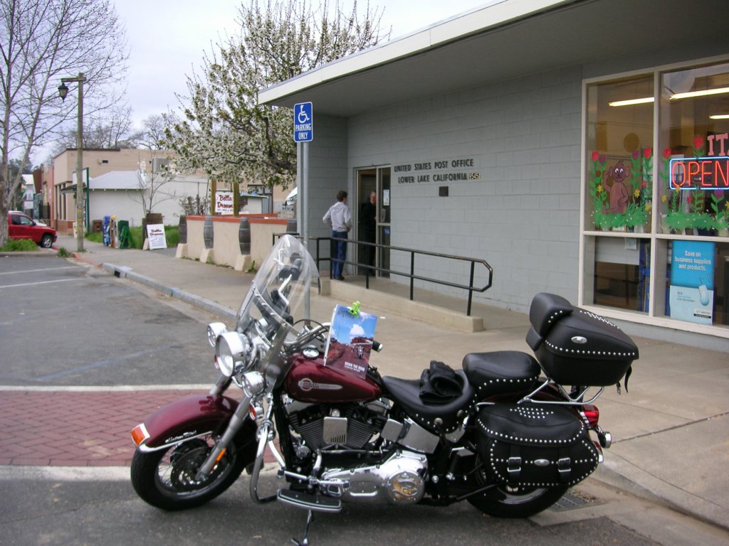
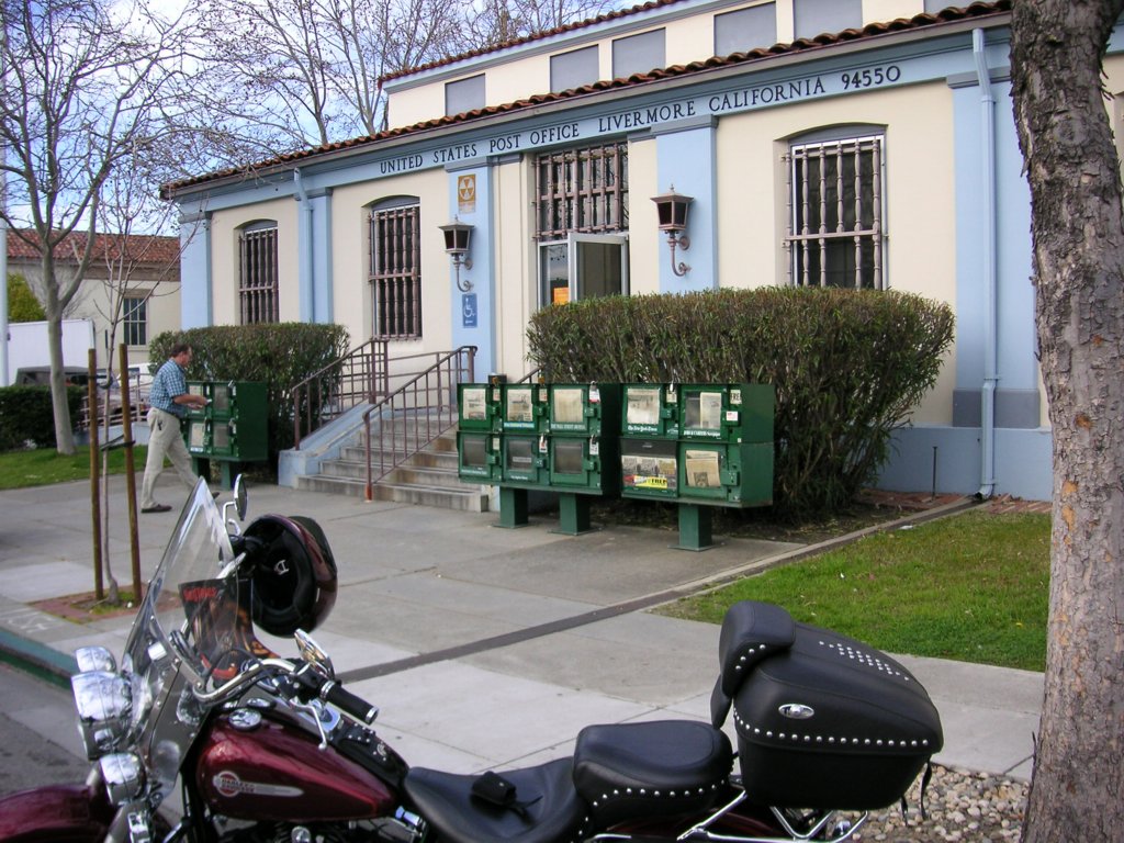
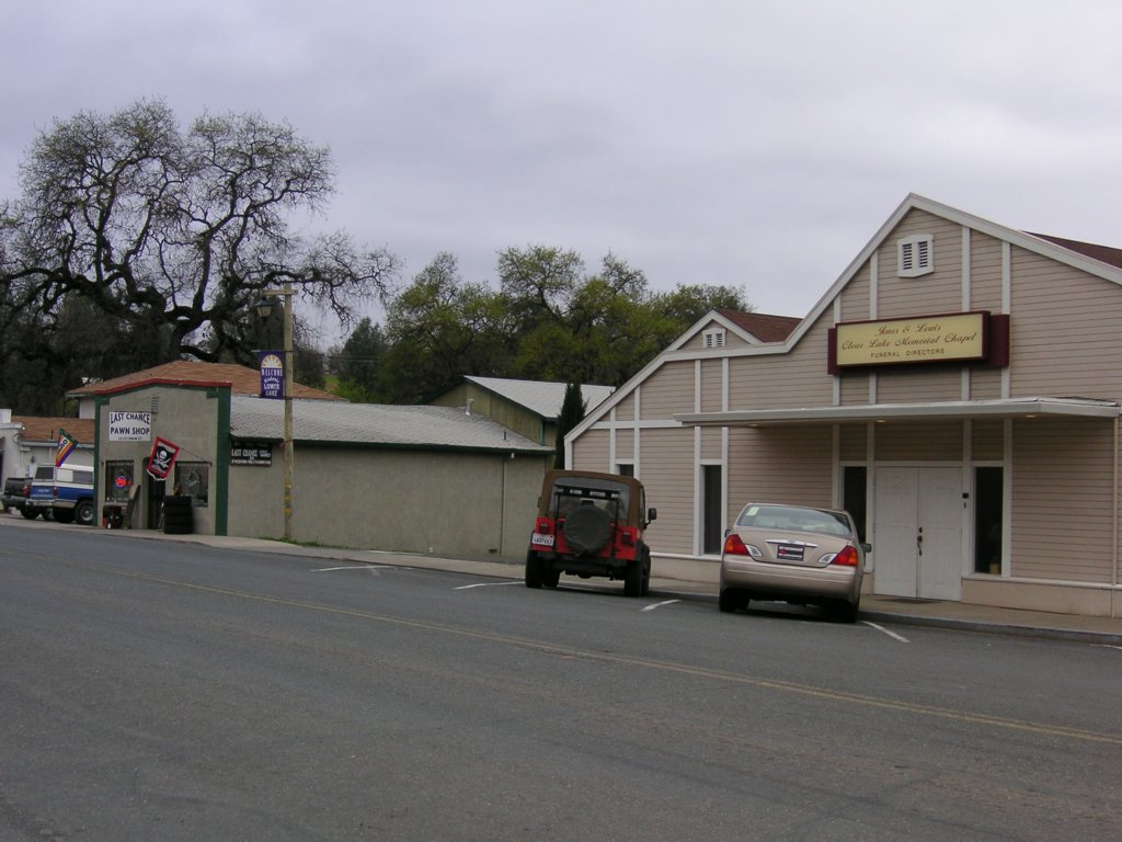
| Lower Lake This is a little town at the South end of Clear Lake. I thought maybe to trade it for my 'L' city, especially with the picture of the monkey. But the Livermore PO is so quaint I just can't replace it. So, Lower Lake is for archival purposes only. I did notice, across
from the Post Office, a funeral parlor next to |
|
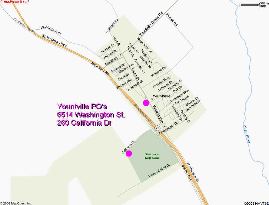
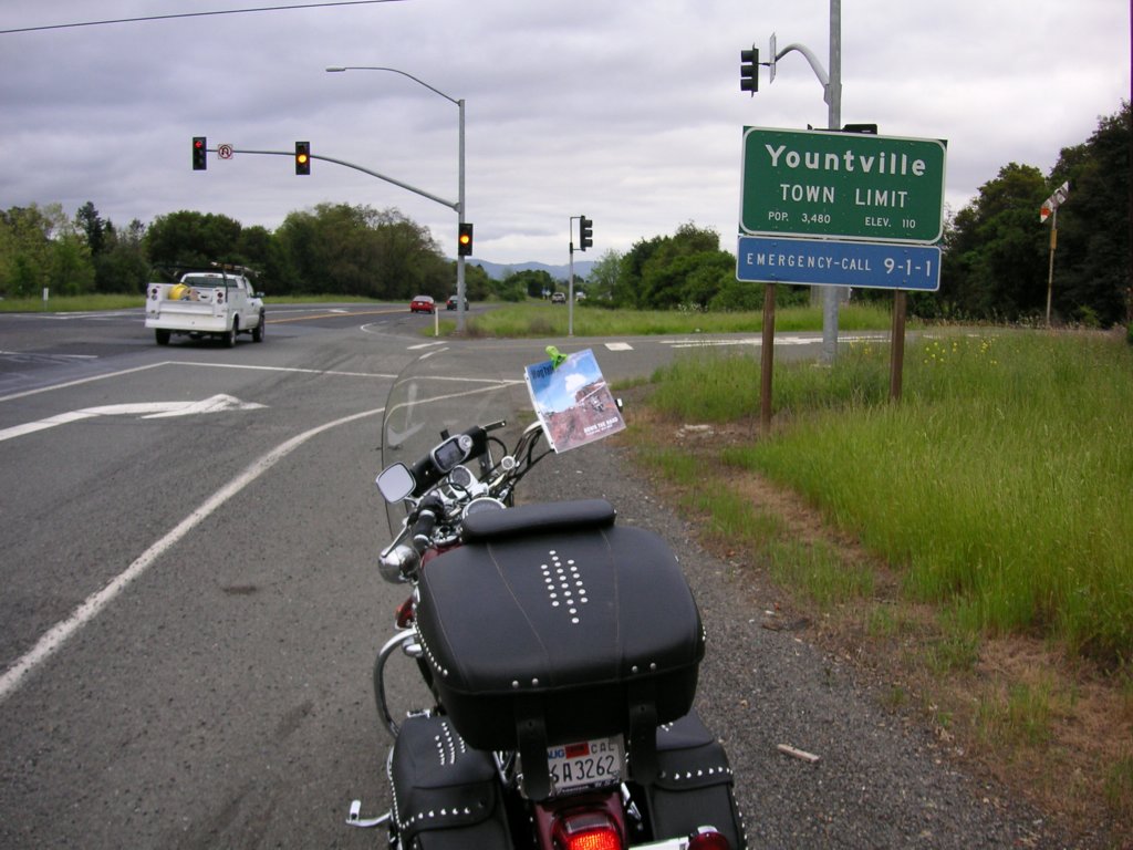
| Yountville I was planning on going into Yountville and finding a post office or city building, but by now I was pretty happy to be heading home and realizing it would be far later than I had planned. When I saw an opportunity for a big city limit sign, I took it. |
 |
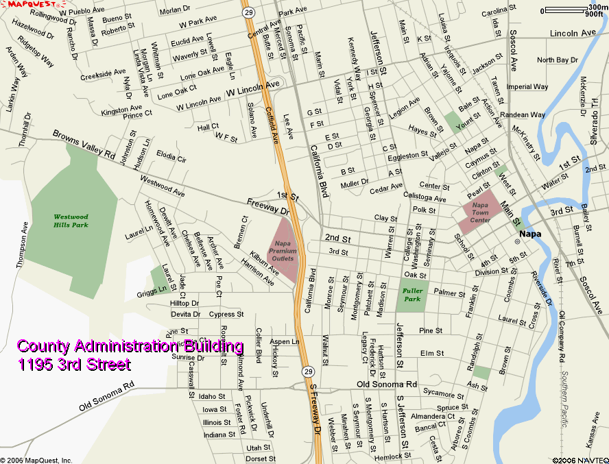
| Napa Napa is a larger town than I had realized. On Hwy-29, a freeway at this point, I took the second off-ramp to take my bearings and look for my photo ops. I came across a little shopping center with
a Trader Joe's. A banana, Using my Magellan, I found that the off-ramp I want is still 2-3
exits |
|
| Contra Costa County I wanted to stop in Martinez on the way by to get my usual photo of the Contra Costa County courthouse. By the time I was going by, it was late, the light was poor, and I was very tired. A 'C' county will have to wait. |
|
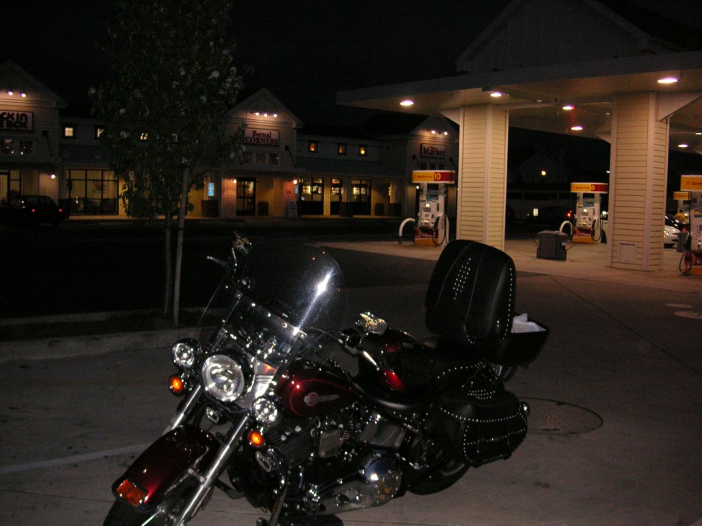
| I gassed up in Vallejo at a Safeway.
A Safeway? Yeah, this is the second time in so many rides that I've come across a Safeway with a gas station. Also, they are giving a 3-cent discount if you swipe your Safeway card. |
|
| Pleasanton 8:15. In spite of Daylight Savings Time, it was getting dark. So I turned off to replace my smoked face mask with the clear one. I found a Shell station with a small mini-mart and a Jack-in-the-Box. Perfect, a pee and a Hershey bar were just what I needed. |
 |
| Down Hwy-680, over to Hwy-880 all the
way to Hwy-280 (whew, a lot of 80's here) and... Finally, home!
80.3 / 30,157 / 9:05 |
|
|
Lessons Learned: |
|
|
ABC Letters: Cities: Y, Counties: L, N Total: 356 miles, 9 hours 20 minutes |
 |
Updated: Tuesday, April 25, 2006 10:58:40 AM