Today's segment of the Calgary trip is between
Kamloops and Golden, BC
This segment was planned to be 225 miles over the Canadian Rockies.

|
|
Today's segment of the Calgary trip is between |
|
| Places Visited Along The Way, Photos, and Notes |
| Continuing our way eastward on the
Trans-Canadian Highway, we passed the northern-most point of our journey Today we rode
exactly 250 miles although it seemed like much more The Canadian Rockies are truly gorgeous! |
|
As we left
Kamloops (A) the landscape was agricultural. Farms with barns and silos dot the countryside. 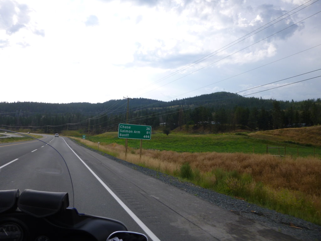
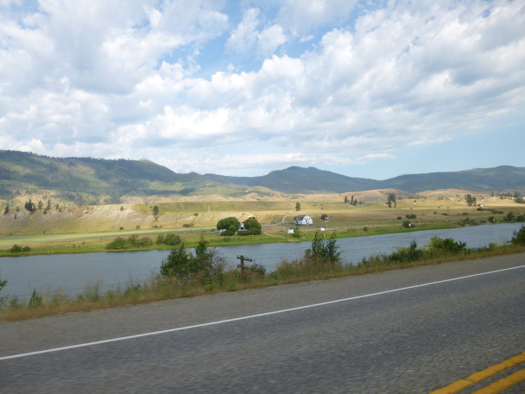
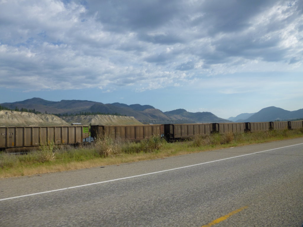
Later in the day, the elevation started to rise There were many trains operating along side the highway |
|
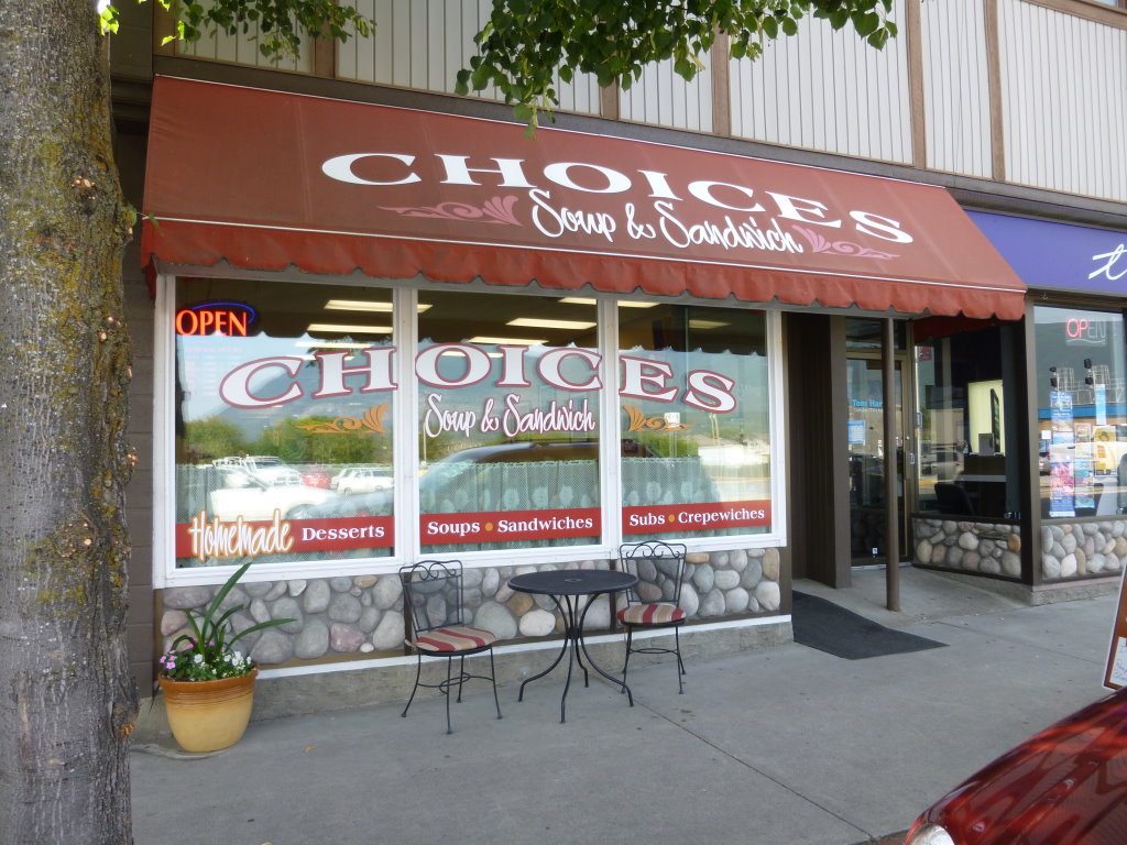
We reached
Salmon Arm and toured the town. Not too much to choose from. We stopped in at the Choices Soup & Sandwich and had a beverage and I had a bite A very nice proprietor with only one fellow in the shop. 

 |
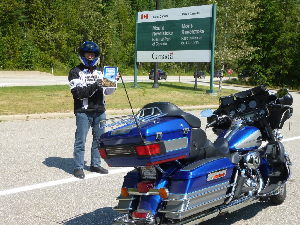
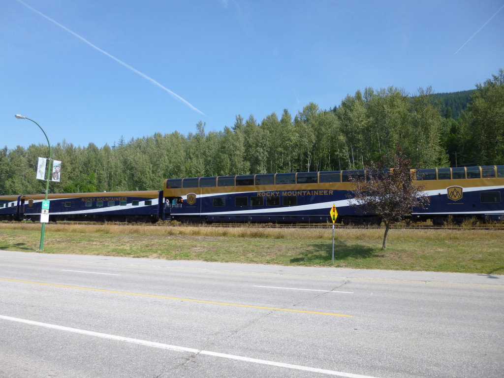
Next stop was
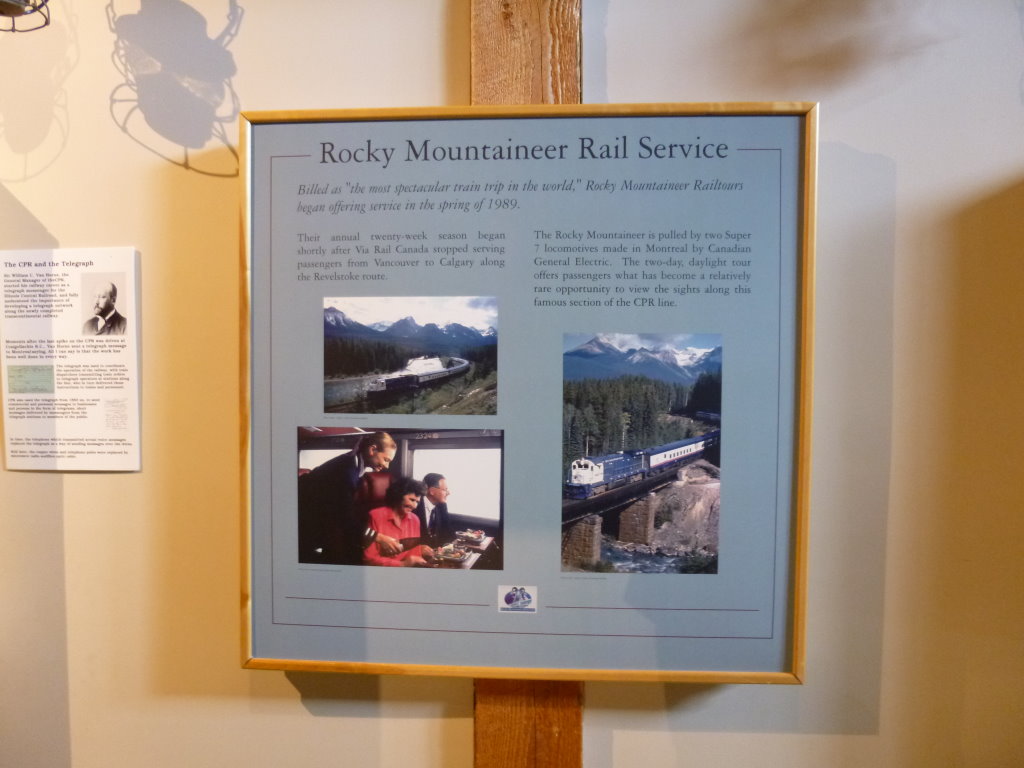
Revelstoke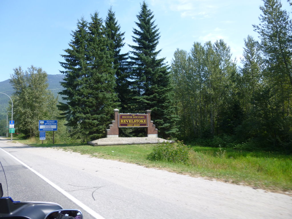 We stopped in at a local grocery to purchase a thing or two And then had lunch at the Modern Bakeshop & Cafe While we were stopped, a train came by, the Rocky Mountaineer 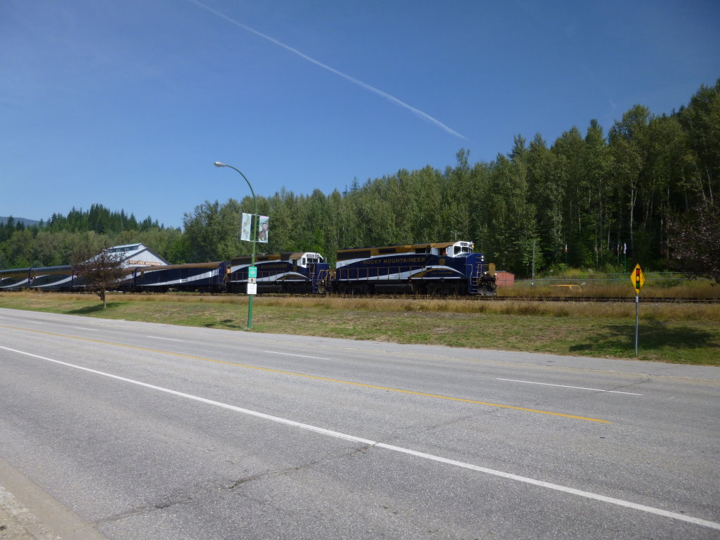
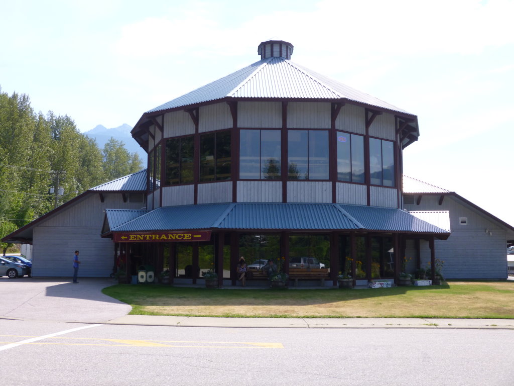
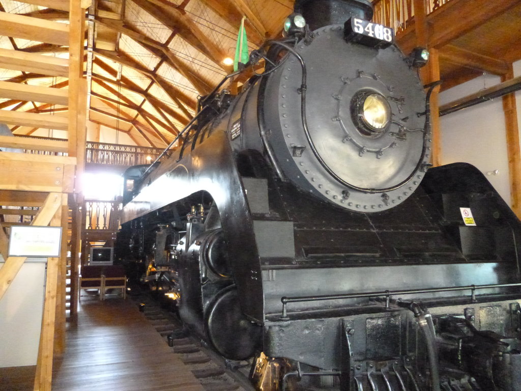
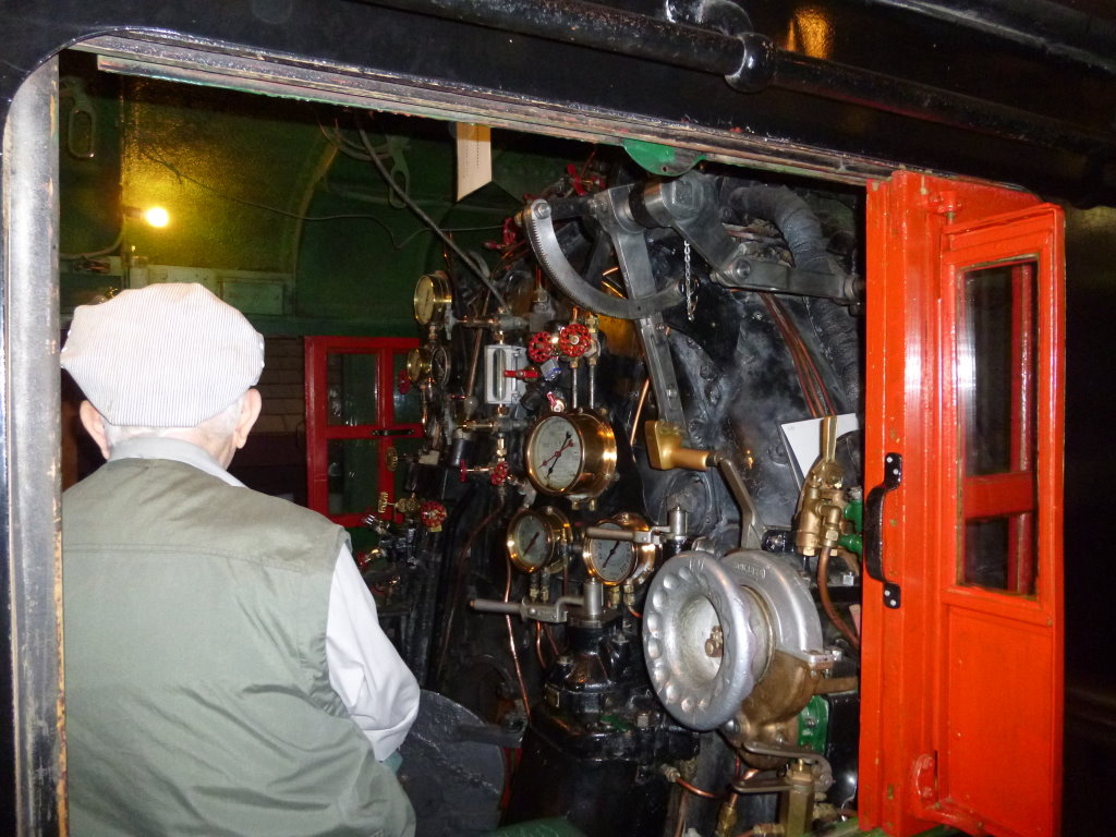
 This town has the Revelstoke Railway Museum which was worth a look-see 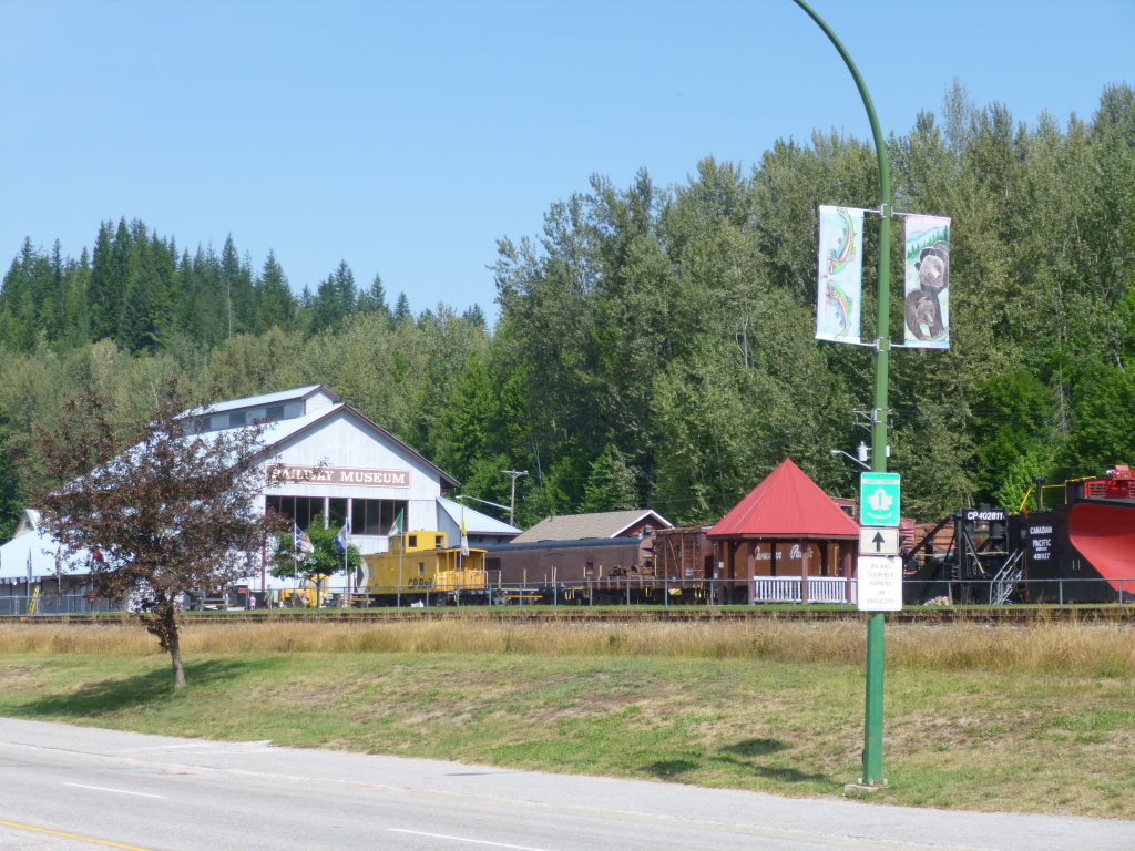
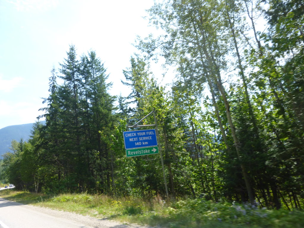
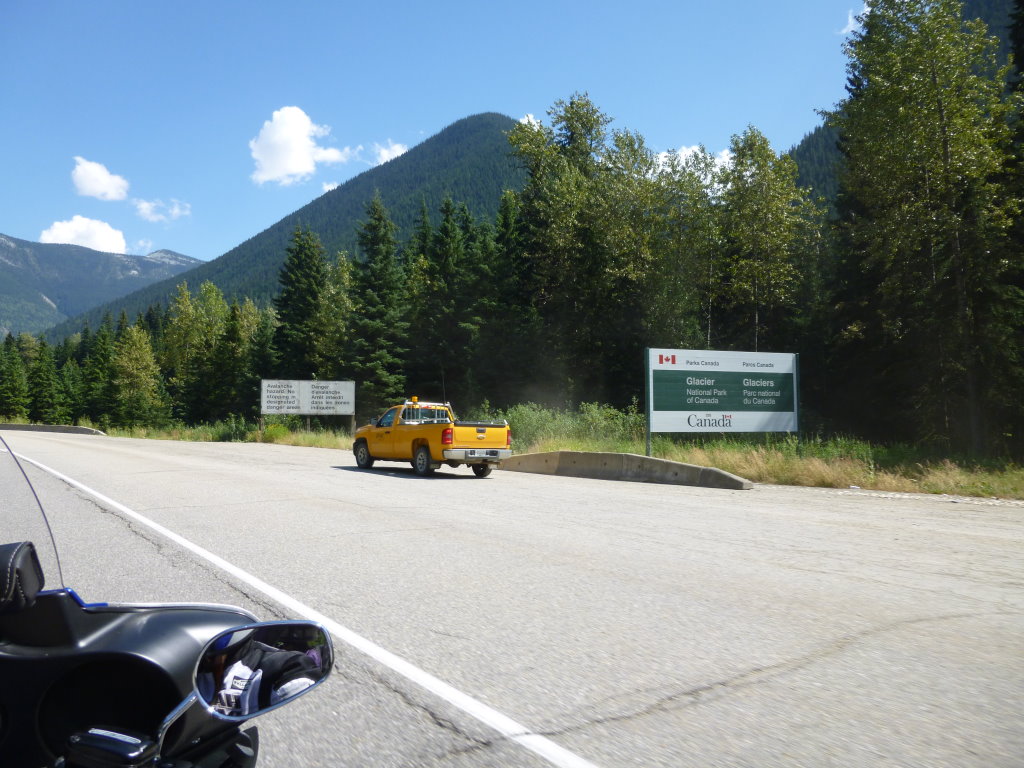
At this time, we had used about two-thirds of our tank of gas. Upon leaving Revelstoke, there was an ominous sign saying |
|
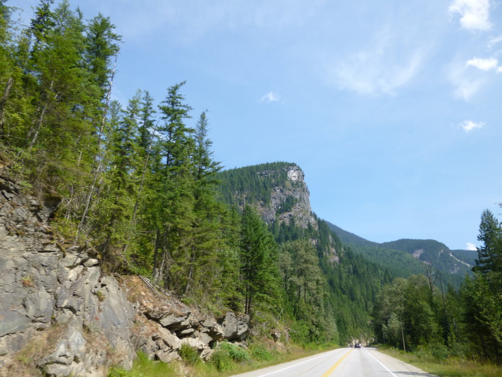
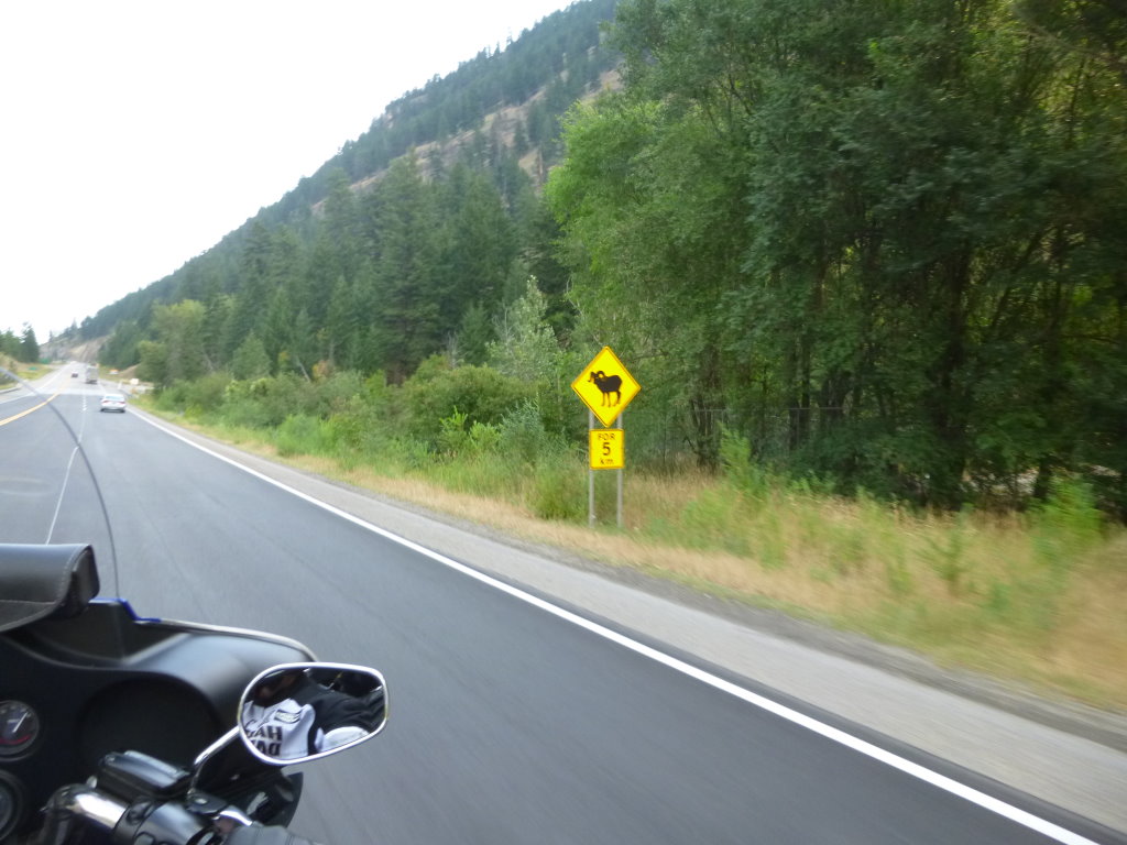
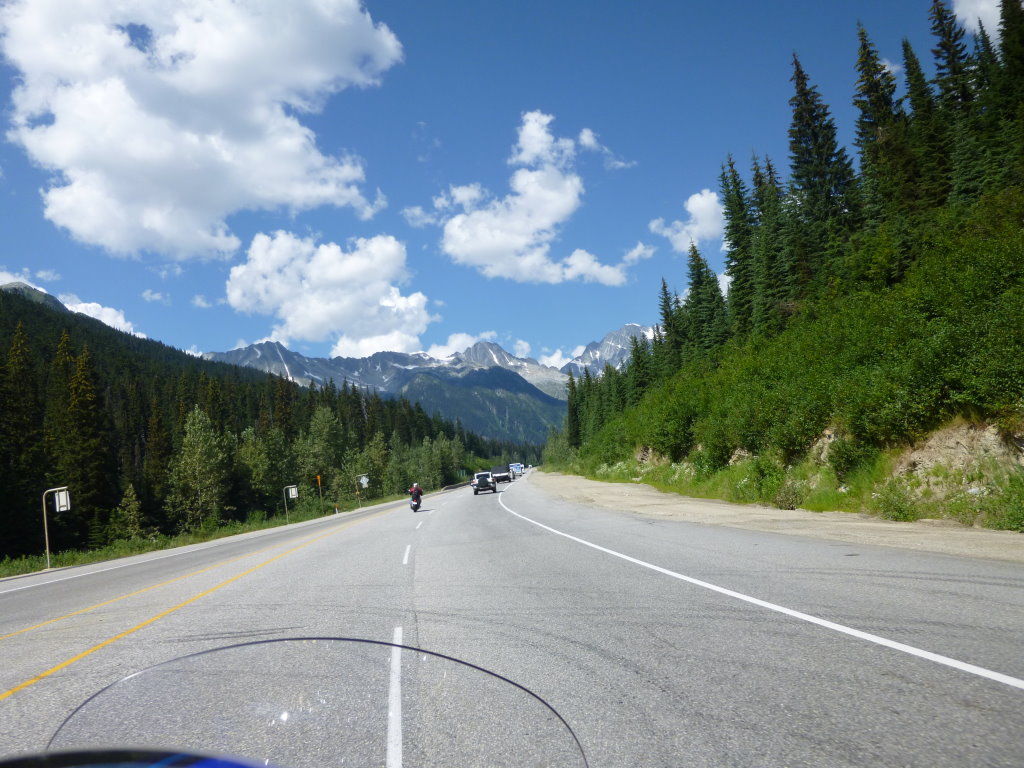
From Revelstoke eastward, the mountains got more rugged, more beautiful, and more steep 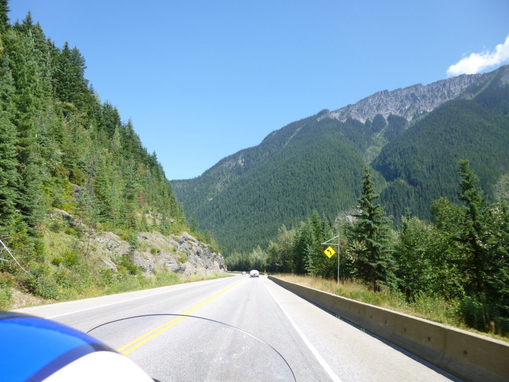
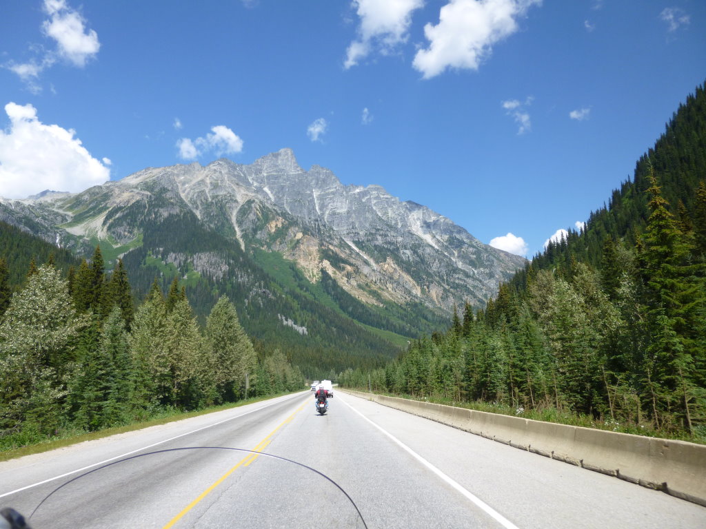 

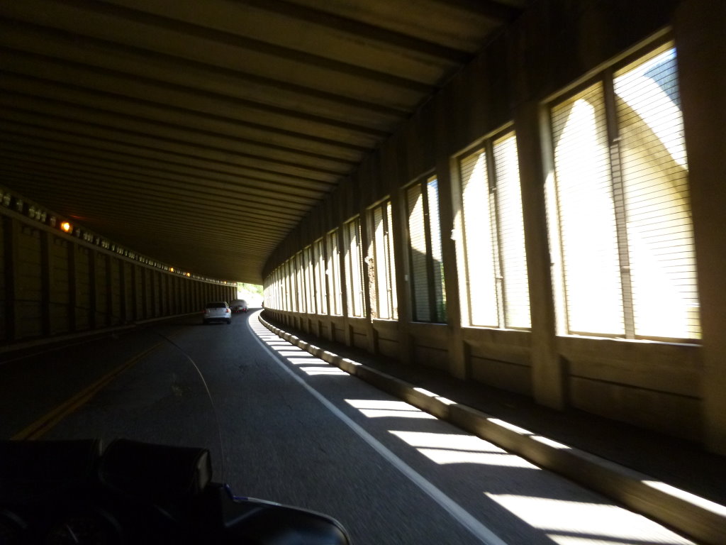
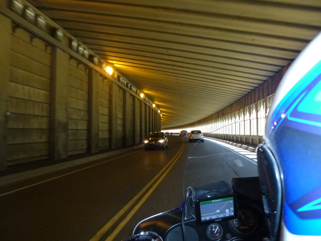
 From the sign below, it appears that Canada has a standard height for mountain passes 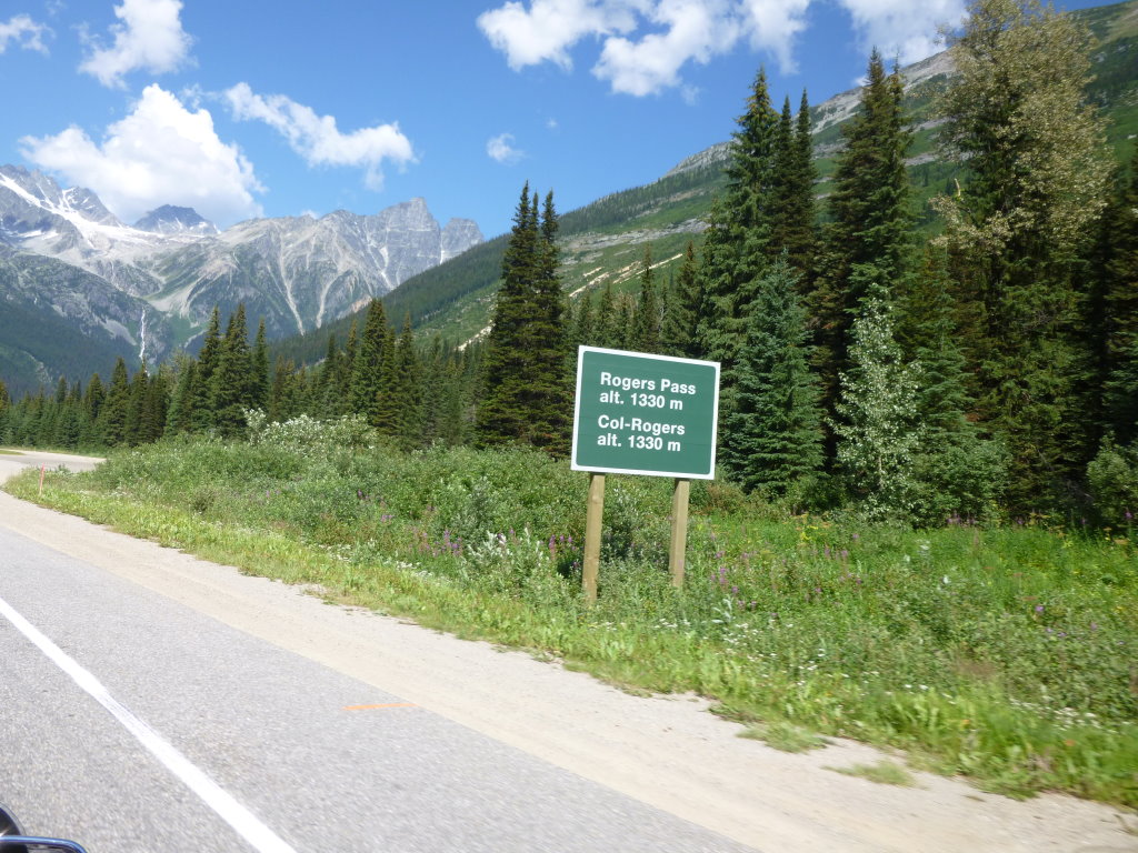 In some places, there are such frequent snow avalanches that they built snow tunnels to protect the highway and the passers by 
 |
|
I think that the Trans-Canadian Highway between Vancouver and
Kamloops is one of the most enjoyable highways I have ever ridden. Four lanes, divided, very well maintained, one can make good time. On the other hand, upon leaving Kamloops heading east, it becomes frustratingly difficult. Very little four-lane, but very heavily used by us tourists. One slow car can build a line of 20-30 cars behind it with no chance to pass. Very slow, very frustrating. Seldom hitting the
speed limit |
|
The little town of
Golden (B) has two exits off the highway. Of course, there is no sign saying that. As we approached, we were trying to spot the Days Inn Golden Also I was fumbling with the GPS trying to find the place Realizing that we passed the second (and last) exit We looked for a place to turn around. It turns out that there are no off ramps for many miles because the highway is cut out of the side of a huge cliff. We went about 6-7 miles till we finally found a turnout we could use. The Days Inn has so recently changed hands and names that the GPS listed it by an entirely different name.
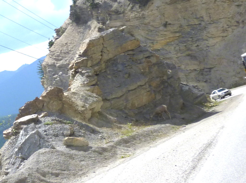
One good thing is that we spotted a mountain goad peacefully |
| Our Route Today |
|
View Larger Map |
|
|||||||||
| Sunday | Monday | Tuesday | Wednesday | Thursday | Friday | Saturday | |||
|
Day 1 Aug 3 |
|||||||||
|
Day 2 Aug 4 |
Day 3 Aug 5 |
Day 4 Aug 6 |
Day 5 Aug 7 |
Day 6 Aug 8 |
Day 7 Aug 9 |
Day 8 Aug 10 |
|||
|
Day 9 Aug 11 |
Day 10 Aug 12 |
Day 11 Aug 13 |
Day 12 Aug 14 |
Day 13 Aug 15 |
Day 14 Aug 16 |
Day 15 Aug 17 |
|||
|
Day 16 Aug 18 |
Day 17 Aug 19 |
Day 18 Aug 20 |
Day 19 Aug 21 |
Day 20 Aug 22 |
Day 21 Aug 23 |
||||
|
|||||||||